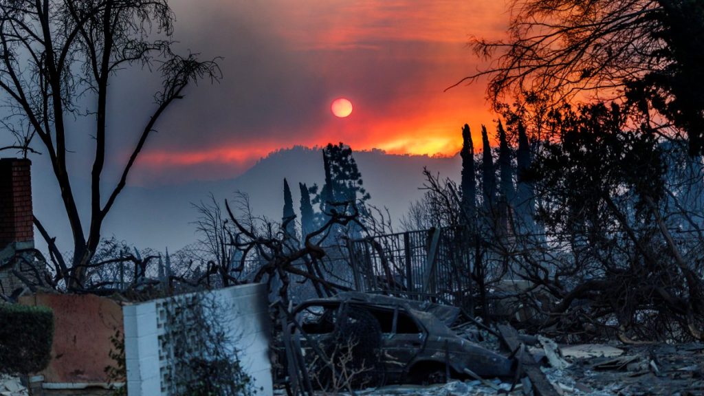
Two wildfires that began on January 7 in Los Angeles County have burned more than 37,800 acres in one week, forcing tens of thousands of people to evacuate and destroying more than 12,000 buildings.
Fanned by Santa Ana’s extreme winds, the blaze spread, scattering embers into nearby neighborhoods, and gutted the building, firefighters said, in what they called the worst conditions they had ever seen.
The Palisades Fire in the Pacific Palisades and the Eaton Fire northeast of Los Angeles are two of the most destructive fires on record in California. Many areas are still assessing the damage from what is likely to be one of the costliest disasters in U.S. history.
The map below shows the location of the fire, evacuation zones, and preliminary damage assessment.
Map: Where are the wildfires in Los Angeles County?
The two largest fires are the Eaton Fire northeast of Los Angeles and the Palisades Fire, which started in the Pacific Palisades and spread along the Los Angeles County coast. The 800-acre Hearst Fire was mostly contained a week after it started in Sylmar.
Map: Los Angeles County wildfire evacuation zones
About 88,000 people remained under evacuation advisories Tuesday, with another 84,800 under evacuation advisories. Some residents have been allowed to resettle in evacuation zones, but a curfew for those not authorized to enter the zones will remain in place from 6pm to 6am.
Map: Los Angeles County Damage Assessment
The first preliminary damage assessment map was released by the county on Monday. The map shows damaged and destroyed buildings. If a building does not have a color, it has not been rated yet. The map is the result of a preliminary field survey, which is ongoing and subject to change as information is collected and verified.
Source link


