[ad_1]

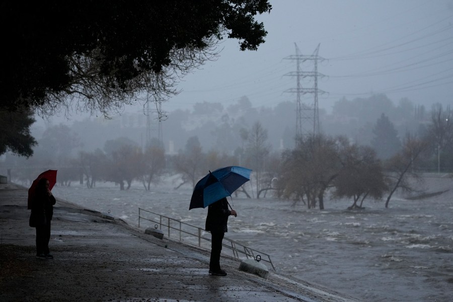
Rainy season has already begun in California, but the arrival of La Niña could shake things up.
According to the Climate Prediction Center, La Niña is likely to occur between now and December and continue into early 2025. As La Niña approaches its peak strength in winter, its influence on weather patterns becomes increasingly strong.
This phenomenon typically splits the country in two, bringing dry winters to the southern half and wet winters to the northern half. The difficult part is that we don’t know exactly where that line will be.
At times, a La Niña event splits California in two, producing mixed results, with heavy rainfall in Northern California and drought in Southern California. But in recent years, La Niña has pushed the line further north, dumping buckets of rain and snow on Oregon and Washington while creating devastating drought conditions across much of the Golden State.
It remains to be seen where that line will fall, but Brian James, Nexstar’s chief meteorologist, says there’s reason to believe California could see more rain, not less.
“Typically, the northern half of the state is more likely to benefit from a La Niña pattern than the south-central part of the state. However, La Niña is weak,” he noted. That would increase the likelihood that the jet stream would be pulled further south into California, leaving the wall that keeps cold air out becoming fluid and weak.
california weather home
“It also means that some of that moisture is more likely to be pulled further down the state, so it’s not just the northern half of the state that will benefit,” James explained. “It is very likely to impact and benefit more areas of the state.”
Wet winters are usually a good thing in California, as long as it doesn’t rain too hard or too fast. Most of the state’s precipitation falls during the winter.
“There are very few situations in California where rain is not desirable,” James said.
A recent analysis by NOAA meteorologist Tom Di Liberto found that a weak La Niña winter could also be good for California’s snowpack. A study of weather data since 1959 found that California’s mountain ranges received more snow during weak La Niña periods than in all La Niña events.
The drought outlook for this season also looks good for much of the state. The only area of serious concern was the far southern desert region along the California-Arizona border.
But trends are never guaranteed, and there are more forces at play here than La Niña. For example, climate change is causing widespread reductions in snowfall across much of the United States. Extreme snowstorms also occur all the time and can upset expectations.
[ad_2]Source link


