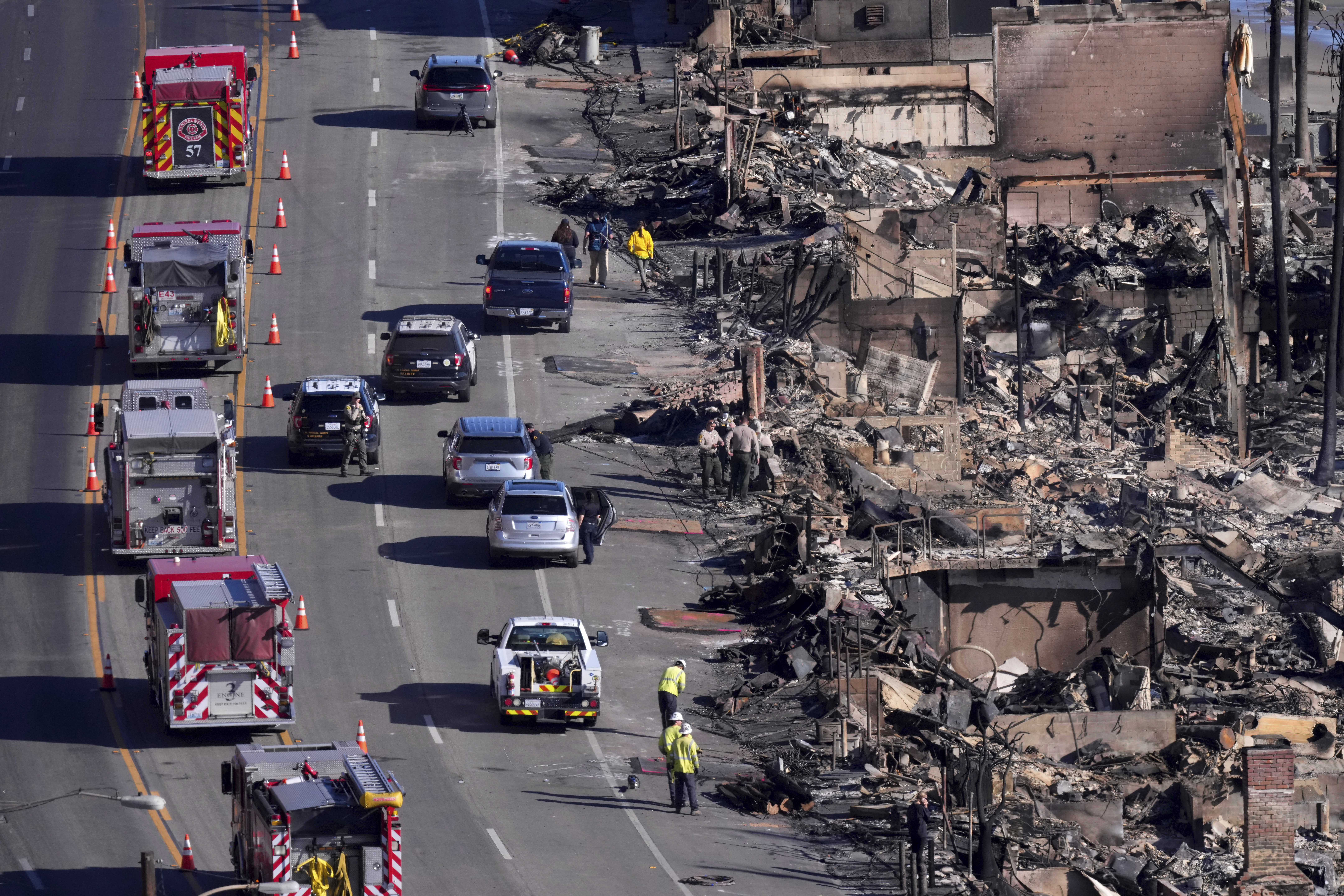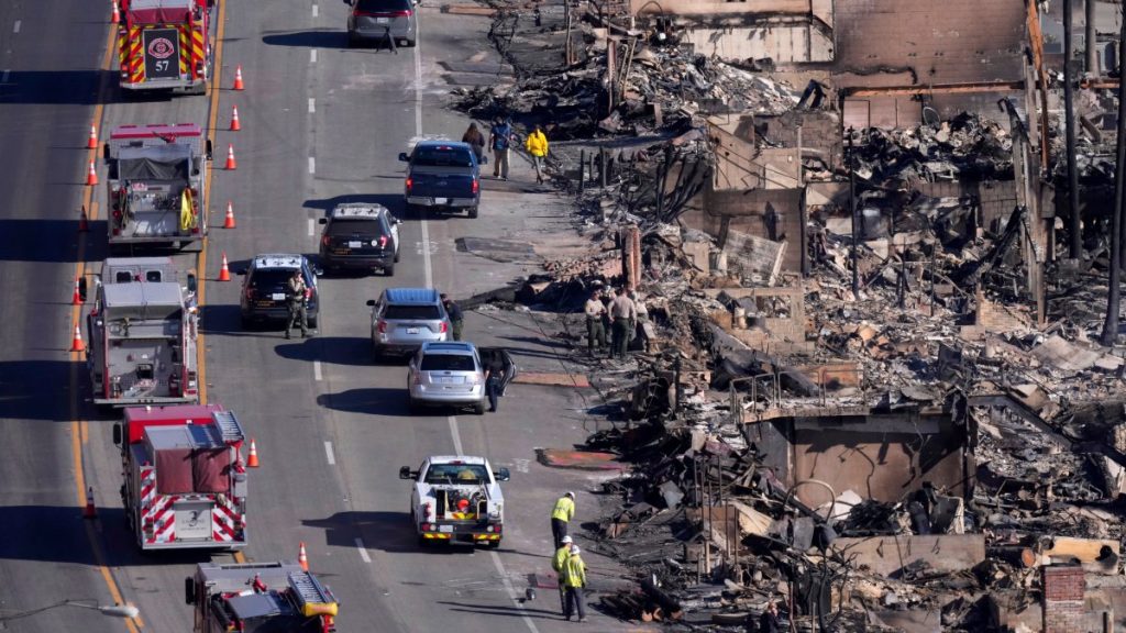
A newly released map shows areas destroyed and damaged by the Palisades and Eaton fires in Los Angeles County.
A preliminary damage assessment map provided by Los Angeles County includes color coding to indicate whether buildings, including homes and businesses, were destroyed, sustained major or minor damage, or remained inaccessible. icon will be displayed. Buildings that were not damaged by the deadly fire are also depicted.
Map: Eaton Fire Damage Assessment
Map: Palisades fire damage assessment
Users can use the search function to find specific addresses.
The map is the result of a preliminary field survey, which is ongoing and subject to change as information is collected and verified.
The Eaton Fire in Altadena and the Palisades Fire in Pacific Palisades broke out on January 7 during a severe Santa Ana storm, with wind gusts up to 80 mph fanning the flames.
The Palisades Fire was 23,700 acres in size and 14 percent contained.
The Eaton Fire was 14,100 acres and 33 percent contained.
At least 24 people died in the wildfire.
Source link


