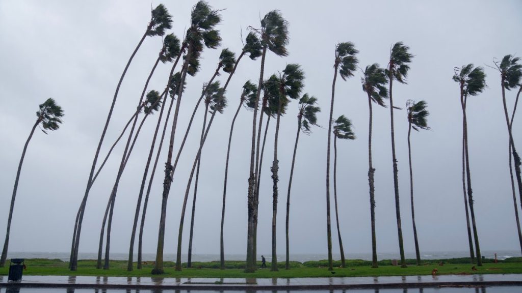
Powerful Santa Ana winds whipped through Southern California, bringing storms and prompting red flag warnings for Los Angeles County and other areas.
Wind speeds are expected to increase starting Tuesday morning, with the strongest gusts expected Tuesday evening into Wednesday.
So why is the wind so strong?
What you need to know about Santa Ana winds
Wind moves from high pressure to low pressure. When combined with Southern California’s rugged terrain, including mountains, canyons, and mountain passes, the winds moving through the area can increase their speed.
Wind strength may also increase with colder air moving to the east. This cold air fills the atmosphere.
Once the air reaches the top of the mountain, it rushes down, picking up speed like a bicycle without brakes. Canyons and passes serve as toll roads. As the winds combine and pass through the canyon, they shoot out in powerful gusts.
Strong Santa Ana winds will increase fire danger in Southern California this week. Lauren Coronado reports on NBC4 News on January 7, 2025 at 6 a.m.
And the wind that travels down the mountain dries as it sinks. This is more physics than meteorology, but this dryness lowers humidity into the single digits. The combination of dry fuel, low humidity, and strong wind gusts creates a significant fire threat. Once a fire starts, it can spread quickly and gusts of wind can cause it to behave abnormally.
Santa Ana winds occur in the fall and persist through the winter.
Source link


