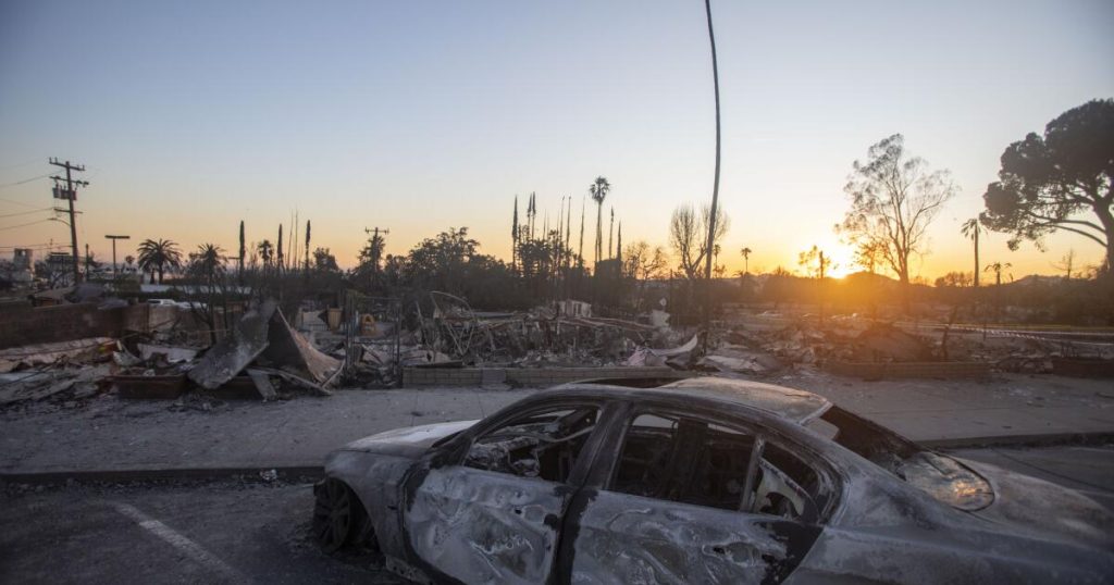
As the Pacific Palisades, Altadena and surrounding areas struggle to make sense of the devastating wildfires that broke out earlier this month, another round of wildfires could linger in Southern California for much of next week. and may pose new risks.
Alex Tardy, a meteorologist at the National Weather Service office in San Diego, said there was little rain and “the bottom line is we’re in uncharted territory in the middle of winter, or the middle of the rainy season.”
Forecasters said after mostly calm winds over the weekend, fire weather returned on Monday, with the threat to peak on Tuesday but could last into Thursday. Rose Schoenfeld, a meteorologist at the National Weather Service office in Oxnard, said a red flag fire warning is likely to be issued for parts of Los Angeles and Ventura counties.
All of this fire weather occurred during a period of record dryness. The last time more than a tenth of an inch of rain fell in one day in downtown Los Angeles was on May 5th. Since May 6th, there hasn’t been a single day with a tenth of an inch of rain. Over 257 days and will continue to do so.
This is a downtown record. The last time downtown Los Angeles did not receive at least one-tenth of an inch of rain was 253 consecutive days, from February 25, 2008, to November 3, 2008.
And across Southern California, this year has broken records for the driest wet start on record. The three-and-a-half months since Oct. 1 have seen very little rain, with Los Angeles International Airport, UCLA, Van Nuys, Woodland Hills and Camarillo experiencing the driest amount of rain in that period.
Downtown Los Angeles has received just 0.16 inches of rain since the start of the water year on October 1st. The average annual precipitation for Downtown Los Angeles for the same period since October 1st is 5.78 inches, which means that Downtown Los Angeles has received just 0.16 inches of rain. Water is 3% of the average rainfall the city receives by this time of the year.
The severe dryness and the Santa Ana winds that blow week after week are unusual.
Calm Santa Ana winds are currently expected Monday and Tuesday, with gusts of 30 to 50 mph expected in the Santa Ana wind corridor in Los Angeles and Ventura counties.
Peak wind gusts on Monday and Tuesday were 52 mph in Lancaster, 33 mph in Canoga Park, 59 mph in Oxnard and Beaumont, 44 mph in Pyramid Lake, 47 mph in Fillmore, 48 mph in Santa Clarita, and Acton. It could reach speeds of 51 miles per hour.
Santa Ana’s winds will be from the east to northeast, Schoenfeld said, “primarily affecting northern and western Los Angeles County and much of Ventura County.” Wind gusts ranged from 30 mph to 50 mph, peaking at about 60 mph in areas around the mountains, “which will cause local fires to grow quickly as new fires start,” Schoenfeld said.
The air is also expected to be very dry. Relative humidity on Tuesday could drop to 5% in Thousand Oaks, Oxnard, Cangore Park, Fillmore, Santa Clarita, Acton and Pyramid Lake. “This will lead to rapid fire growth locally if new fires start,” Schoenfeld said.
The forecast will become clearer in the coming days.
The Palisades and Eaton fires destroyed more than 11,000 structures and killed at least 27 people. The Palisades Fire, which has burned 23,713 acres, was 43% contained as of Saturday morning, according to Cal Fire. The Eaton Fire, which has scorched 14,117 acres, is 73% contained.
Meanwhile, the search for missing fire victims continues.
Source link


